


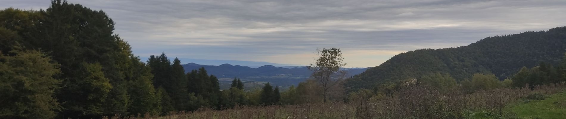
La forêt de La Fajolle

c.chehere
User
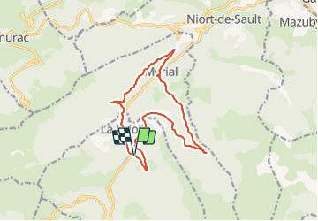

Length
15.5 km

Max alt
1416 m

Uphill gradient
666 m
Km-Effort
24 km

Min alt
926 m

Downhill gradient
671 m
Boucle
Yes
Creation date :
2021-10-05 06:01:13.036
Updated on :
2021-10-05 12:42:47.45
4h59
Difficulty : Medium

FREE GPS app for hiking
 SityTrail
IGN / Geographical institutes
SityTrail Plus
The world is yours!
About
Trail Walking of 15.5 km to be discovered at Occitania, Aude, La Fajolle. This trail is proposed by c.chehere.
Description
Entièrement en forêt sur de très bonnes pistes. Le stationnemnt est difficile à La Fajolle
Photos


Positioning
Country:
France
Region :
Occitania
Department/Province :
Aude
Municipality :
La Fajolle
Location:
Unknown
Start:(Dec)
Start:(UTM)
415631 ; 4734998 (31T) N.
Comments